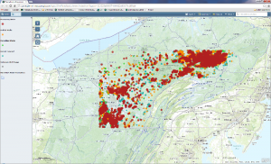
The Carnegie Museum of Natural History GIS Lab has produced a new web map to help researchers and the public to better understand the life of unconventional gas wells throughout Pennsylvania. The map uses the Carnegie Museum of Natural History Pennsylvania Unconventional Natural Gas Wells geodatabase to view information on permits, drilling, production over time, inspections, violations, and other information. View the map.
Macroinvertebrate Water Monitoring Map Wins Best App at PA GIS Conference
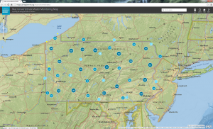
We are excited to announce that the Macroinvertebrate Water Monitoring Map won the Best App Award at the 22nd Annual Pennsylvania GIS Conference, held in State College, PA. The official announcement can be viewed here. We like to thank all those who voted for the app and the Planning Committee for all the work they do to provide this conference to the GIS community of Pennsylvania.
Pennsylvania Unconventional Natural Gas Wells 2014 Q1 Update
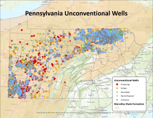
The latest version of the Carnegie Museum of Natural History Pennsylvania Unconventional Natural Gas Wells data set is now available. The update includes records through March 31, 2014. You can now Download the data without registering. For information about updates, see the Version Information page. For more information, please see the Metadata and User License Agreement.
Powdermill Nature Reserve Map
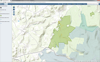
Check out the Powdermill Nature Reserve Map. You can explore trails and other local attractions such as state parks. Then bring your family to visit!
Pennsylvania Unconventional Natural Gas Wells 2013 Q4 Update
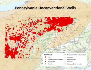
The latest version of the Carnegie Museum of Natural History Pennsylvania Unconventional Natural Gas Wells data set is now available. The update includes records through December 31, 2013. For more information, please see the User License Agreement.
