Main Content

Maps and Geographic Information Systems
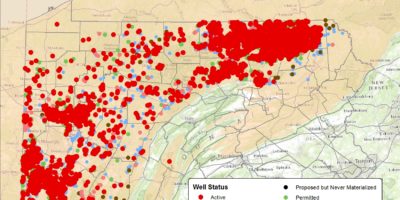
Maps at Carnegie Museum of Natural History is the map and data portal for the museum’s geospatial resources developed by the GIS Lab at Powdermill Nature Reserve. We are continually adding new maps, data, and other content, so please check back often.
Geographic Information Systems (GIS) Laboratory
At Carnegie Museum of Natural History, we recognize the importance of collaborative interdisciplinary research and we view geographic information systems (GIS) as a tool that can connect many fields of research. In 2006, the Carnegie Museum of Natural History established the GIS Laboratory at Powdermill Nature Reserve to enhance and expand research capabilities for museum staff, research associates, and students. Research through the GIS laboratory focuses on the interface between conservation biology, environmental sciences, and geospatial technologies.
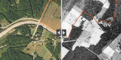
The GIS lab at Powdermill maintains an archive of geospatial data of the present and past ecology and infrastructure of the Reserve. This enables Carnegie Museum of Natural History staff and researchers to observe changes to the landscape over time, have a clear inventory of present ecological resources, and plan for future research and management. Landscape changes could be caused by human interaction, natural plant succession, establishment of invasive species, changing climate, and over-browsing by deer, among others. GIS enables informed land management decisions through increased scientific knowledge.


