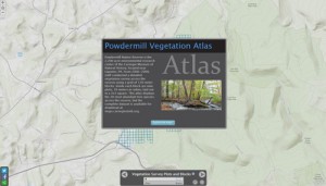
In collaboration with students in the Indiana University of P ennsylvania’s Department of Geography and Urban Planning, the CMNH GIS Lab has produced a vegetation atlas of the 20 most abundant tree species at Powdermill Nature Reserve. These maps are based on the extensive vegetation survey conducted at Powdermill from 2006-2008. The complete vegetation dataset is now available here as an ArcGIS personal geodatabase that can also be accessed using Microsoft Access.
Maps and Geographic Information Systems
One of the Four Carnegie Museums of Pittsburgh | ©2023 Carnegie Institute | Privacy Policy | Terms of Use | Accessibility
Get eNews
Our eNews features information on exhibitions, upcoming events, and subscriber-only special offers!
