The CMNH GIS Lab has released a web app 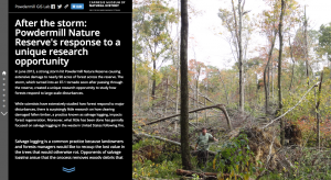 highlighting recent forest ecology research initiatives at Powdermill Nature Reserve following a unique research opportunity, a large wind storm in June 2012. The project aims to test the long-term effects of salvage logging and deer exclusion on forest regeneration and wildlife following a major disturbance. The application combines maps, photos, and some background text to acquaint users with the project.
Maps and Geographic Information Systems
![]()