The Carnegie Museum of Natural History GIS Lab has produced a new web map viewer that adds 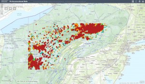 additional functionality. Users can now graph unconventional gas production, violations, or data errors either state-wide or over a user-defined area by clicking the “Chart” button. The new “Draw” button allows the user to add graphics and text in order to produce their own maps. Like the previous web map, users can click on any well to view information in permits, drilling, inspections, violations, and other information. Users can still also can click on any producing well to see a graph of gas production since mid-2009 for that specific well. Stay tuned for an additional forthcoming update that will give users the ability to access a table of information on wells by stage, which can be filtered by map extent and exported as a CSV.
Click here to view the new web map.